|  |
 METEO DE BAIE NETTLÉ
Une courte averse vers 9:50 h.
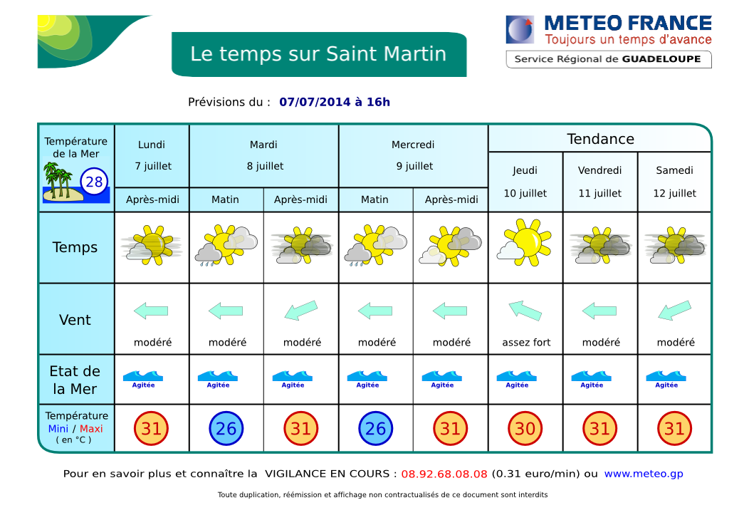
RÉSUMÉ: Une zone perturbée stationne du Yucatan (au sud de Cuba) au nord des Bahamas en se décalant lentement vers l'est. Hier, en fin d'après-midi et hier soir, une masse nuageuse issue de cette perturbation a recouvert notre région de nuages peu épais sans donner de pluies significatives. L'atmosphère reste humide. DERNIÈRES 12 H: Beau temps dans la journée, faibles et rares averses en soirée et la nuit malgré un ciel nuageux à couvert. AUJOURD'HUI / NUIT PROCHAINE: Ce matin, partiellement ensoleillé avec des nuages de faible épaisseur pouvant devenir plus nuageux ou couvert avec des risques d'averses en fin de journée. DEMAIN et jours suivants: peu de changements puis dégradation possible dans les prochaines 24 h. voir SATELLITES.
ORAGES: aucun actuellement dans le secteur. Possibles en fin de journée. VENTS: Alizés d'est modérés à assez forts 18 à 30 kmh avec de fortes rafales en avant des grains. MER: peu agité à agitée en Baie en fonction du vent. Très agitée à parfois forte (2.5 m) au large. HOULE: d'Est, insignifiante ici. VISIBILITÉ: faible sous averse, assez bonne autrement. Brume de sable. CYCLONES (Atlantique): Rien à signaler. NAVIRES: Artemis, superbe sloop de 44 m est à quai à Galisbay. D'autres bulletins seront émis en cours de journée ou ce soir en cas de changement.
AIDE- INFO - HELP
.jpg)
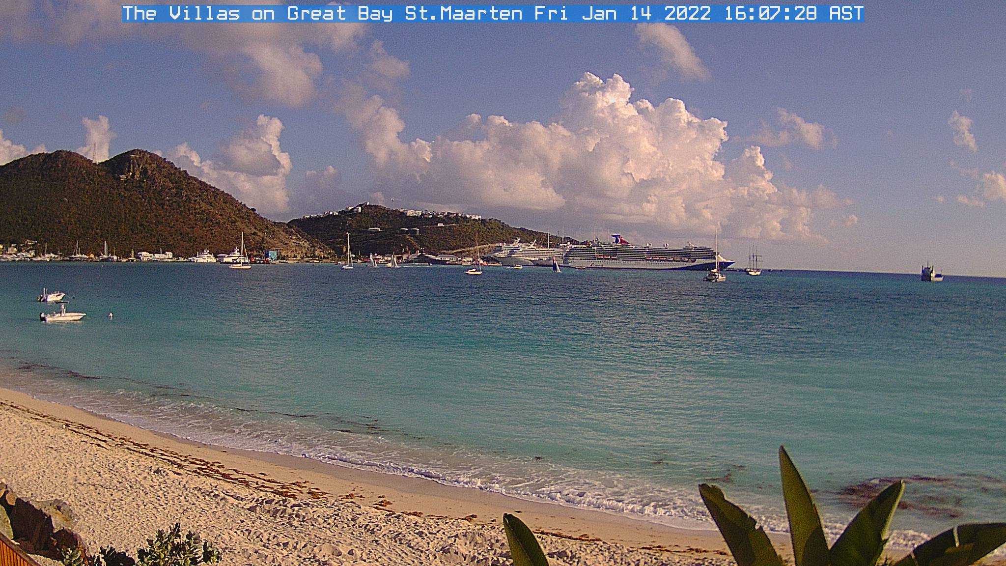
| Webcams St Martin-St Barts | ||
 |
|
 |
| Nettle Bay Beach Club, netcam3, anse 3 | Nettle Bay Beach Club. Netcam1, anse 3 | Nettle Bay Beach Club, netcam2 (anse 4) |
 |
 |
|
| Philpsburg, Great Bay | St Barts, Gustavia | Baie St Jean, St Baths |
 NETTLE BAY FORECAST
Brief shower around 9:50 am.
SYNOPSIS: A disturbed area stays over western caribbean from Yucatan to northern Bahamas. It shifts slowly eastward. LAST 24 hours: yesterday, fine weather during the day, then mostly cloudy skies with no showers. TODAY / TONIGHT: This morning, partly sunny to cloudy becoming maybe cloudy to mostly cloudy or overcasted with a chance of showers and thunderstorms in the evening and tonight. TOMORROW and following days: possible worsening during the next 24 h. See SATELLITES.
WINDS: moderate to relatively strong easterly winds 12-18 Mph with higher gusts possible in showers. THUNDERSTORMS: None in the vicinity at this time. SEA: Slight to choppy in the bay, choppy to locally rough at sea. SWELL: easterly, insignificant in the bay. VISIBILITY: poor in showers. Sand dust haze. TROPICAL CYCLONE: No tropical cyclone at this time (Atlantic). SHIPS: Artemis, 144 ft sloop, at Galisbay.
AIDE- INFO - HELP
.jpg)
Animation Satellite Infra-rouge Petites Antilles - Lesser Antilles infrared loop
| . |
ORAGES - THUNDERSTORMS
Zoom - St Martin: point rouge - red dot (rafraîchissement toutes le 5 mn - refreshes every 5 mn)