|  |
 POSSIBLE | |
| Température Mer - Sea temperature (Baie Nettlé) | ||
≥ 27º C
|
à
|
< 28º C
|
≥ 80º6 F
|
to
|
< 82º4 F
|

Graphicast (NHC)
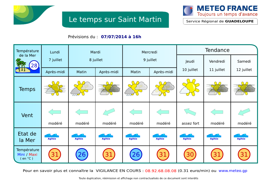
 METEO DE BAIE NETTLÉ
 RÉSUMÉ: Une zone perturbée stationne au nord-ouest et ouest de nos îles apportant un temps instable et orageux par moments. Cette perturbation se décale lentement vers l'Est et donc notre région en se dissipant un peu. Les vents assez forts sont générés par des anticyclones au nord. DERNIÈRES 24 H: hier, quelques averses par-ci par-là notamment hier après-midi. Belles éclaircies toutefois. AUJOURD'HUI / NUIT PROCHAINE: Ce matin, partiellement ensoleillé à très nuageux devenant nuageux à couvert plus tard avec des risques d'averses et d'orages dans l'après-midi et la nuit prochaine. DEMAIN et 4 jours suivants: peu de changements. Quelques belles accalmies. Voir SATELLITES.
ORAGES: 1 zone d'orages actuellement environ 100 km au sud-sud-ouest de St Martin. D'autres sont possibles en 2e partie de journée. VENTS: Peu de changements: Alizés d'est modérés à assez forts 20 à 40 kmh avec de fortes rafales en avant des grains. MER: de agitée partout à très agitée ou même forte en Atlantique (2.5 m), généralement hachée (clapot) en Baie en fonction du vent. HOULE: d'Est, peu gênante pour nos rivages. VISIBILITÉ: faible sous averse, bonne autrement avec un peu de brume de sable saharienne. CYCLONES: Rien à signaler. NAVIRES: Ocean Princess, bateau-citerne (habitué) en rade, et Elisabeth Boyle, cargo (habitué aussi) à Galisbay.
AIDE- INFO - HELP


Elisabeth Boyle - Ocean Princess
| Webcams St Martin-St Barts | ||
 |
|
 |
| Nettle Bay Beach Club, netcam3, anse 3 | Nettle Bay Beach Club. Netcam1, anse 3 | Nettle Bay Beach Club, netcam2 (anse 4) |
 |
 |
|
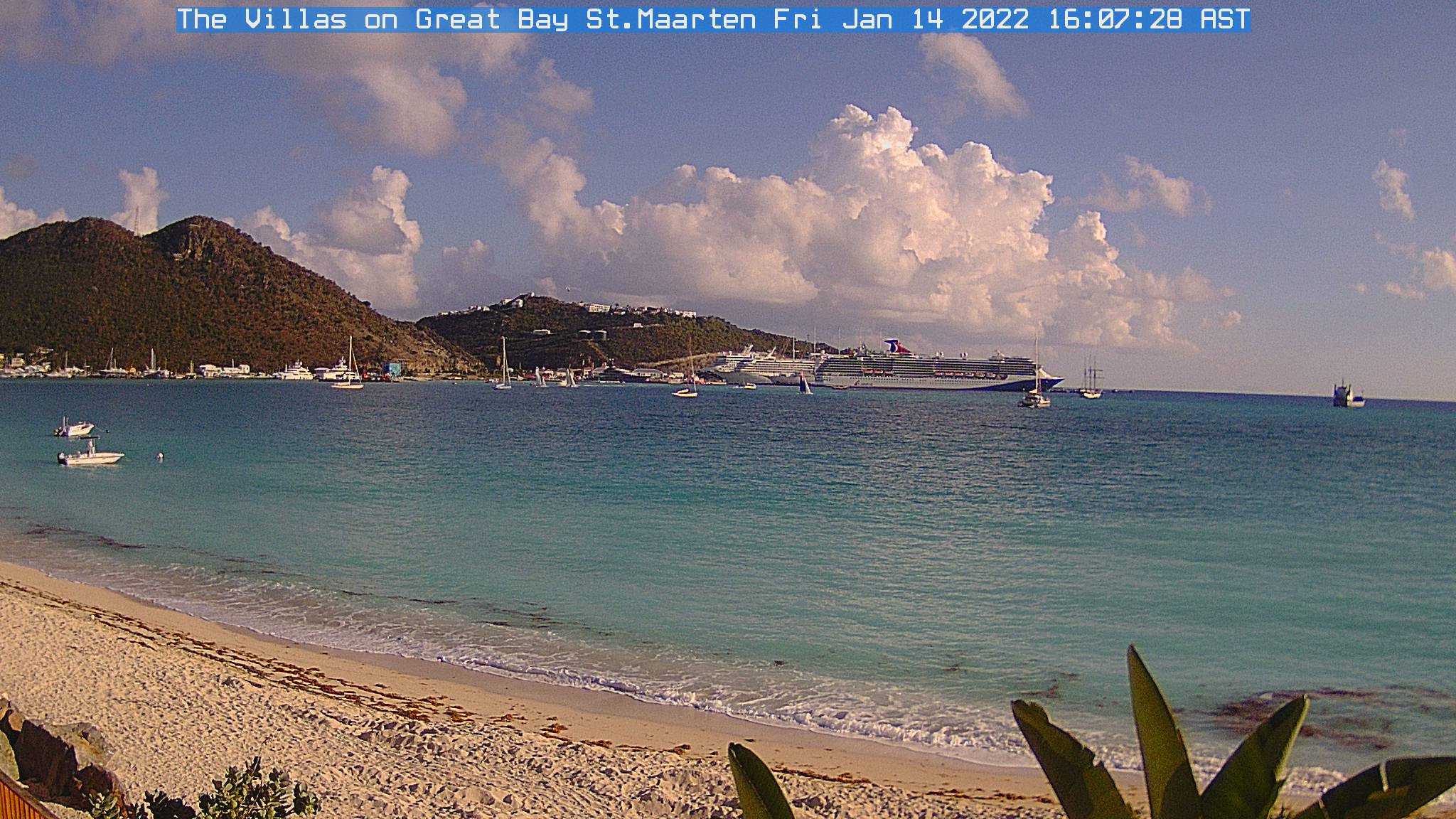
| Philpsburg, Great Bay | St Barts, Gustavia | Baie St Jean, St Baths |
 NETTLE BAY FORECAST
SYNOPSIS: A disturbed area located northwest and west of our islands providing an unstable and thunderstormy weather. This disturbance is slowly shifting towards the East and therefore our region, dissipating a little. Fairly strong winds are generated by high-pressure systems north of tropical regions. LAST 24 hours yesterday, a few showers here and there especially yesterday afternoon. However, some sunny spells occured. TODAY / TONIGHT: This morning, partly sunny to cloudy becoming cloudy to overcast later with chance of showers and thunderstorms in the afternoon and the next night. TOMORROW and next 4 days: little change. Some large lulls. See SATELLITES.
WINDS: moderate to relatively strong trade winds 12-25 Mph with higher gusts possible in showers. THUNDERSTORMS: few thunderstorms about 60 miles south-southwest of St Martin. SEA: Slight to choppy in the bay, choppy to locally rough 8 ft at sea. SWELL: easterly, insignificant in the bay. VISIBILITY: poor in showers. Some saharan sand dust haze. TROPICAL CYCLONE: No tropical cyclone at this time. SHIPS: Ocean Princess, tanker (regular). Elisabeth Boyle, cargo, regular.
AIDE- INFO - HELP
Animation Satellite Infra-rouge Petites Antilles - Lesser Antilles infrared loop
| . |
ORAGES - THUNDERSTORMS
Zoom - St Martin: point rouge - red dot (rafraîchissement toutes le 5 mn - refreshes every 5 mn)